
US 27 Multimodal Corridor


About the US 27 Multimodal Corridor
In Florida, US 27 serves as a major corridor for interregional connectivity, freight movement, emergency evacuation and response, and economic development, as well as local commerce, agriculture, and diverse communities. The Florida Department of Transportation (FDOT) is conducting a review of US 27 to better understand and document the existing conditions of this corridor and conduct a preliminary analyses of travel demand and deficiencies along the corridor. With this study, FDOT is seeking to identify issues and potential opportunities through review of prior studies and plans; analysis of existing conditions on US 27 and the surrounding study area; and targeted engagement with local governments, metropolitan planning organizations, regional planning councils, and other partners. The desired outcome is to determine potential corridor improvement opportunities, both short-range and long-range, and to develop an approach for future planning studies.
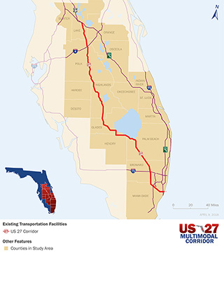
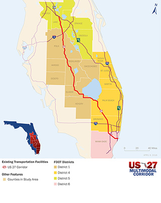
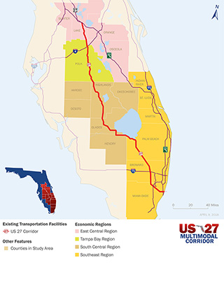
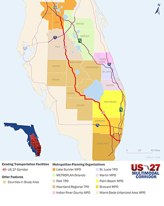
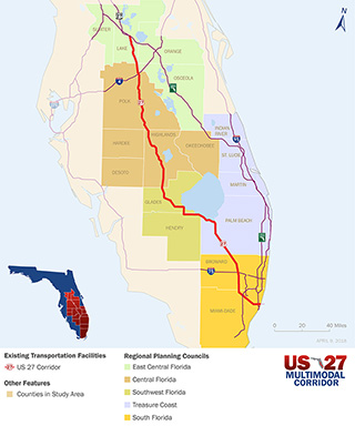
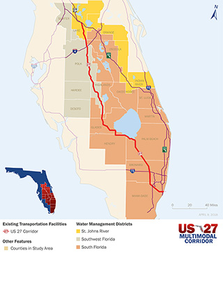
The study area is from Miami-Dade County in Southeast Florida northward to Central Florida and includes the portion of US 27 from the US 27 and Florida Turnpike interchange in Lake County to the southern terminus of US 27 in Miami. This area covers not just the counties that US 27 runs through but also the surrounding counties that are impacted by the growth and development along the US 27 corridor. The map highlights the Southeast Florida through the Heartland to Central Florida area and the section of US 27 under review.
See the Resources page for additional resource documents related to this study area.